|
|
Be patient, for this world is broad and networked.
In the fast growing cities of this world, where networks are found and lost on the fly, we roam through our daily environments carrying mobile technologies along that help us escape on the
move, and fade into experiences that are often detached from our immediate surroundings.
Since we are often not aware of the air we breathe, the penetrating noise that affects us, or the cosmos of living things all around— what if our mobile technology could allow us to reconnect to our surroundings, to sense and read environmental data straight from the source, data that had been obscured to us before? |
 |
 |
| |
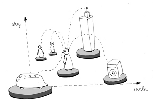
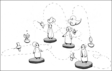
| As we move through our cities, mobile technology conntects us to other people and objects. |
|
|
 |
|
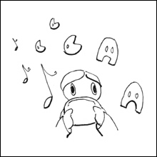
At the same time, this technology allows us to immerse ourselves in entertaining mobile experiences.
|
|
| |
|
|
 |
| |
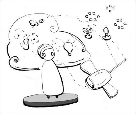
| These activities distract us from sensing what is happening around, and we are often not aware of the air we breathe, the penetrating noise that affects us, or the cosmos of living things all around. |
|
|
| |
 |
| |
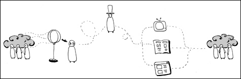
| The information about our environmental conditions is usually collected by expert scientists, evaluated by politicians and mediated through different kinds of channels. Often this creates a divide between actually experiencing these conditions and understanding their meaning. |
|
|
 |
| |
| Neighbourhood Satellites enables people to read their environmental conditions as they move, and tries to make this activity an engaging and playful experience. |
|
 |
| |
| With the hope that many people would use this system, they could monitor and know about their neighbourhoods collectively, sharing their findings and possibly come to take actions in their communities. |
|
|
|
| back to top |
|
|